John Bartholomew
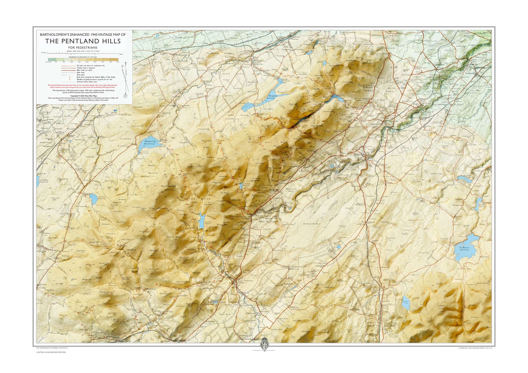
The Pentland Hills Map Print Only
Open Edition Print
A1 size (59.4 x 84.1 cm)
£40
The base map of the Pentland Hills was first engraved in 1885 by John Bartholomew junior (1831–1893). On this enhanced 1945 revision, hill shading was added using contemporary data from NASA.
Each print is produced locally about two miles from the eastern slopes of the Pentland Hills. Printed at A1 size (841 × 594 mm) on 200 gsm satin uncoated paper.
730787
MORE IMAGES

 Back to Listings